
Environmental data science
Helping you to manage, conserve and enhance the environment by transforming data into insight.
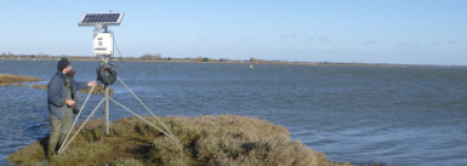
About us
We draw on decades of combined experience in academia, research and hands-on land management to deliver tailored insights that allow you to improve your conservation or environmental management practices, whatever your sector.
By combining in-situ surveys with data from drone, aerial and satellite platforms, and applying the latest artificial intelligence techniques, we deliver multi-scale, high-dimensional analytics that give an unprecedented understanding of complex natural processes and change.
These insights help our clients to design, implement, monitor and optimise their environmental management and stewardship activities.
Our services
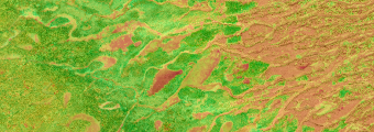
Bespoke data collection and monitoring
In-situ surveys combined with drone, aerial and satellite data, designed around your land and your questions.
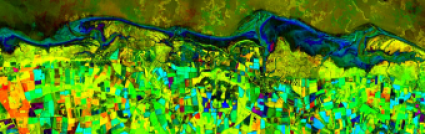
Analysis and interrogation
Multi-scale analytics, including AI techniques, that turn complex survey and remote-sensing data into clear understanding of natural processes and change.
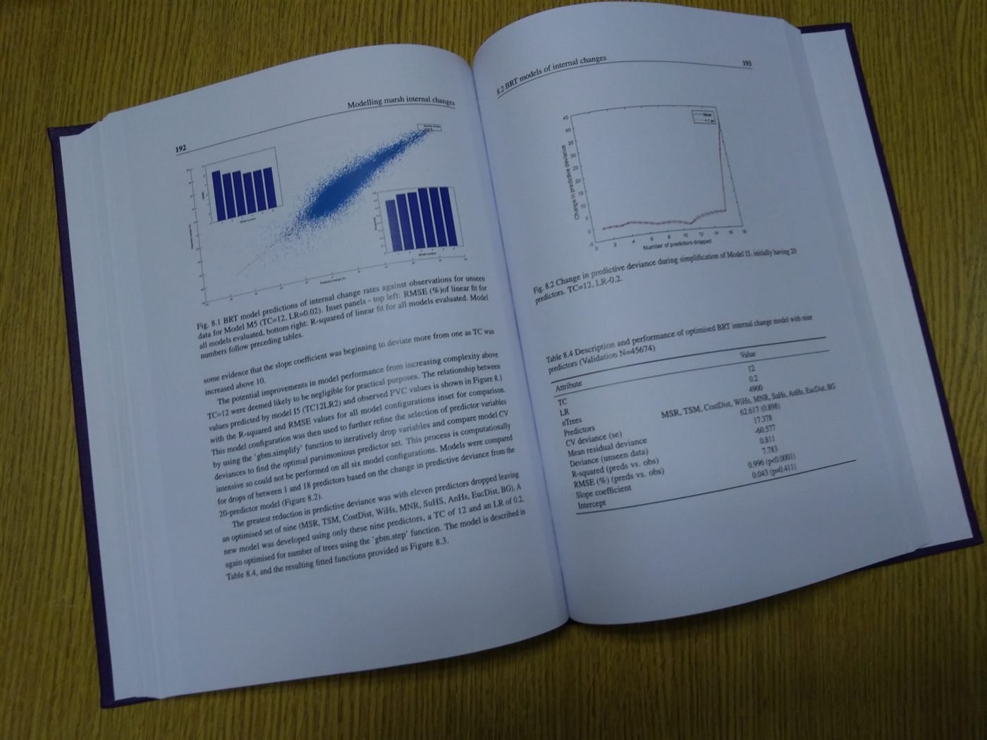
Consultancy and advice
Practical advice to help you design, implement, monitor and optimise conservation, environmental management and stewardship activities.